Map of Retallion Then and Now
What captured my inspiration in the original map I created of Retallion was the inland sea. Having grown up in Minnesota I loved going up to Lake Superior. It was our ocean, but small enough to better grasp the size of it. I used both the inland sea and the massive forest to the west as borders for the human lands and as a buffer zone between them and the Dyr.

The Original Map of Retallion
Locations that have retained their purpose in the story:
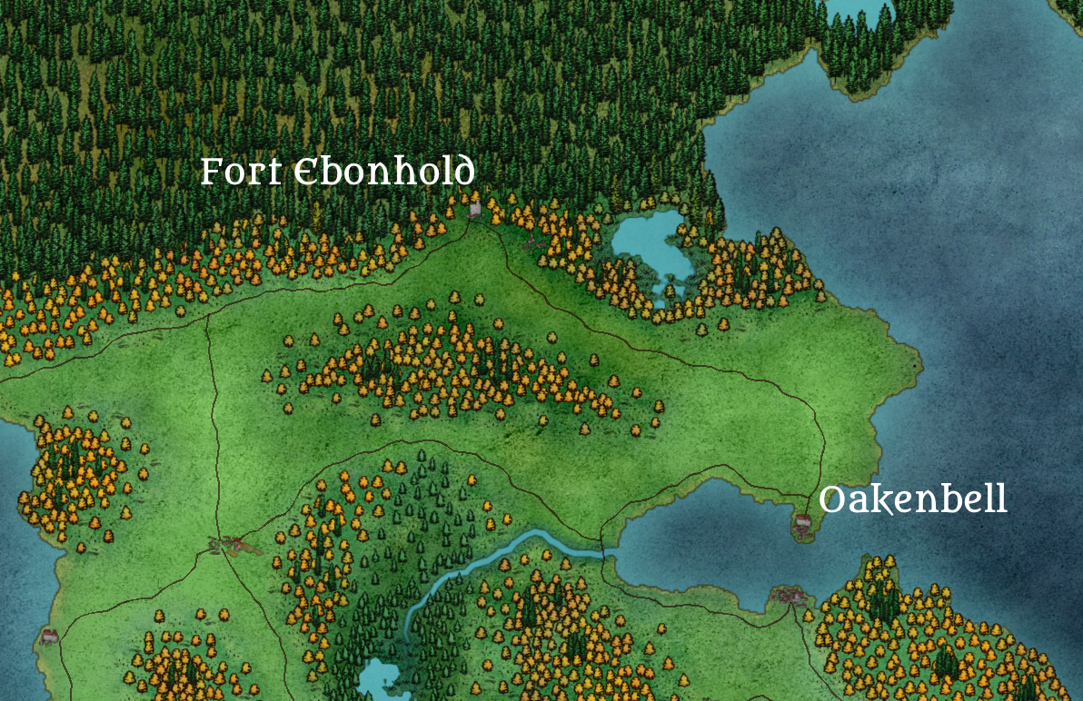
Fort Ebonhold and the nearby village on the border of human civilization are still where the story starts for two of the main characters.
The town of Oakenbell which is the site of some pivotal moments in the later half of the story.

The capital of Bastion, in this old version it is the capital for all of humanity, but in the current map it is the capital of one nation.
Merri’s rest and it’s nearby homesteads are preserved as the homes where two of our heroes grew up.
The Shattered Isles remained the location for the inciting incident in chapter one.

Ambervale is less prominent a location in the revision, but it lives on as a character’s last name.
The Winter camp of one of the Dyr clans stays in a warm lowland area with lots of water, but it has shifted farther north.
The new map drew inspiration from the area I am living now. It is loosely based on the Puget sound / Salish Sea area, but with some key differences. I removed most of the islands and peninsulas from the sound and closed it off to make it an inland sea. I also added the massive glacier coming down from the north that plays a part in the history of the world. I worked on injecting a bit more realism and diversity into the map this time around. I split up the forests so there wasn’t just one monolithic one on the border of human civilization. I also split up humanity into three different nations to give some diversity of culture and depth to the world.

The Current Map of Retallion


This overhauled map has helped me focus the story more and reduced some of the plot holes that the old map left me with. Having the map with the scale in Wonderdraft has let me chart the journeys of all the different characters so I can make sure that the timing of events makes sense. It has also helped with plotting out the future books in the series and what places/cultures I may want to explore. I also think it looks more cohesive aesthetically.
If you have any questions about the map or the world of Retallion in general please leave them below and I’ll try my best to answer them here or in a future blog post.